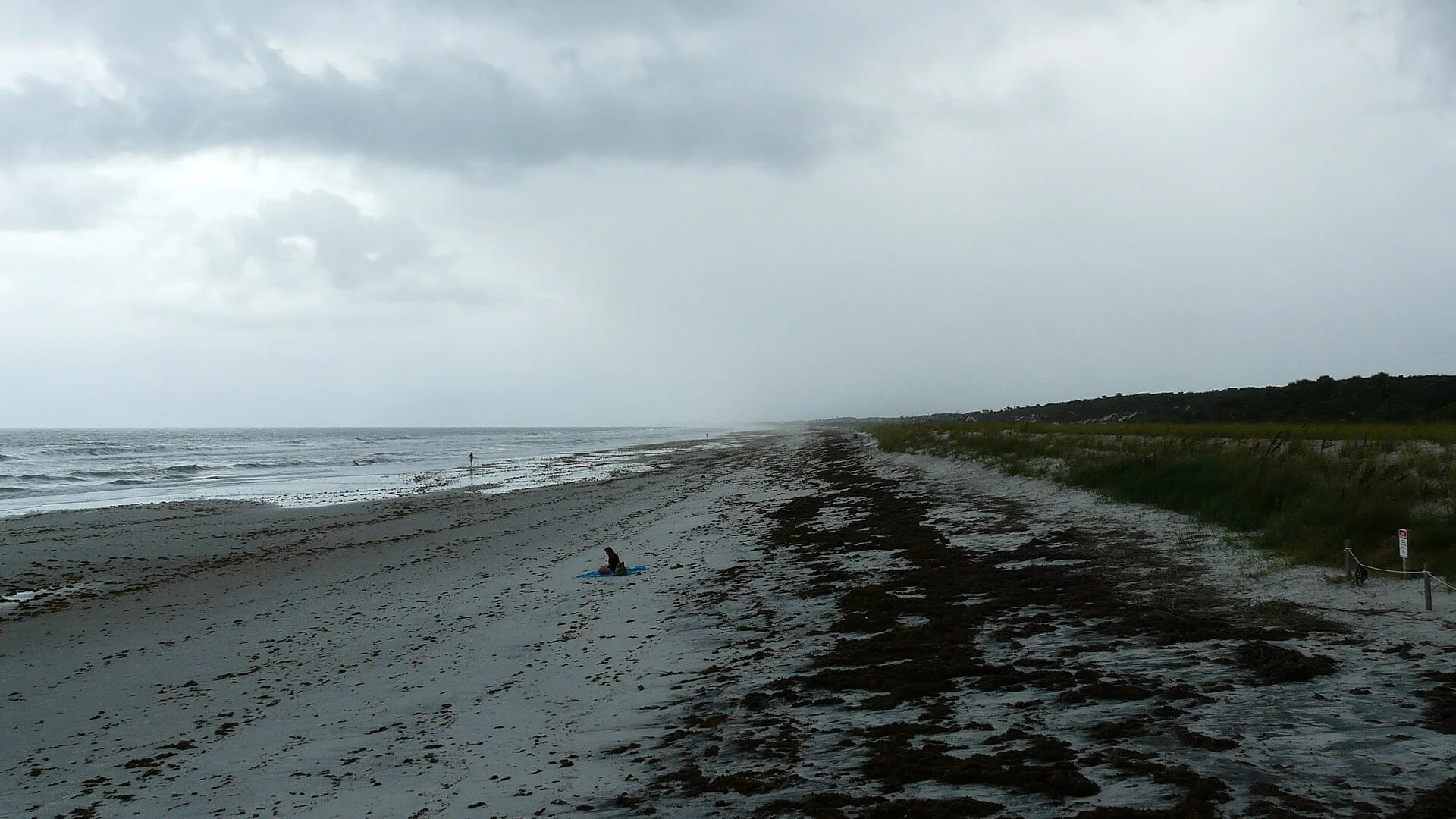
The Oct. 18 high surf advisory for Duval beaches was extended and ended at 2 a.m. Wednesday, Oct. 21. A new advisory and a coastal flood warning run to 8 p.m. Monday.
Updated Oct. 27: This advisory is over. The National Weather Service extended it, and it ended at 2 a.m. Wednesday, Oct. 21. Strong northeast winds returned this weekend. A new high surf advisory, a high rip current risk and a coastal flood warning for coastal Duval County followed. On Oct. 27 the weather service extended the surf advisory and the flood warning to 2 a.m. Friday, Oct. 30, and the rip current risk through late Thursday night. Our coastal flood warning story has the high tide times and gauge readings.
Strong northeast winds are driving rough surf onto the Duval County coast. The National Weather Service in Jacksonville has a high surf advisory for breaking waves of 7 to 11 feet until 2 a.m. Tuesday.
The risk of rip currents is high through late Monday night. A wind advisory for coastal Duval County runs until 2 a.m. Monday.
What the weather service expects
The high surf advisory covers the beaches from Glynn County, Georgia, south to Flagler County. The wind advisory covers the Florida coast from Nassau County to Flagler County. Together they name these hazards:
- northeast winds of 20 to 30 mph, with gusts of 40 to 45 mph, until 2 a.m. Monday
- breaking waves of 7 to 11 feet until 2 a.m. Tuesday
- dangerous rip currents through late Monday night
- localized beach erosion
The weather service said gusts that strong can blow around unsecured objects and bring down tree limbs. It said “a few power outages may result” and that driving can be difficult, especially in high-profile vehicles.
NOAA’s Mayport station, at the mouth of the St. Johns River, recorded a gust of 36 knots, about 42 mph, at 3 a.m. Sunday.
Erosion and tides into the week
The weather service’s forecast discussion Sunday morning said significant beach erosion is possible around high tide. It said minor tidal flooding is possible along the Atlantic coast, the Intracoastal Waterway and the St. Johns River basin into early next week. It added that the tidal flooding was not widespread enough for an advisory.
The forecasters expect the high rip current risk to “probably” last through much of the week, as a low off the Carolinas keeps the wind onshore. A gale warning is up for the coastal waters.
NOAA predicts these high tides at Mayport:
| Day | High tides |
|---|---|
| Monday, Oct. 19 | 3:15 a.m. and 3:57 p.m. |
| Tuesday, Oct. 20 | 4:16 a.m. and 4:53 p.m. |
These are predicted times for the normal tide, from NOAA’s Mayport tide predictions. A strong onshore wind can push the water higher than the prediction.
Cool and dry inland
Away from the beach the weather is calm. The weather service’s Jacksonville forecast calls for a partly cloudy night with a low around 59, then a sunny Monday with a high near 72. Forecasters said temperatures will stay below normal for the week.
The St. Johns River flooding from earlier this month is over. Our flooding story has the final gauge readings.
What it means for you
- Stay out of the water unless you are an experienced swimmer near a lifeguard. The weather service said inexperienced swimmers should stay out because of the surf.
- If a rip current catches you, the weather service says to relax and float, not swim against it. Swim parallel to the shore if you can. If you cannot escape, face the shore and call or wave for help.
- Keep back from the water’s edge around high tide, when the weather service expects erosion to be worst.
- Tie down or bring in patio furniture, trash cans and anything else loose until the wind advisory ends.
- Report a downed line or an outage to JEA. Our power outage page explains how.
Sign up for the city’s emergency alerts on the JaxReady ALERTJAX page.
Have your say