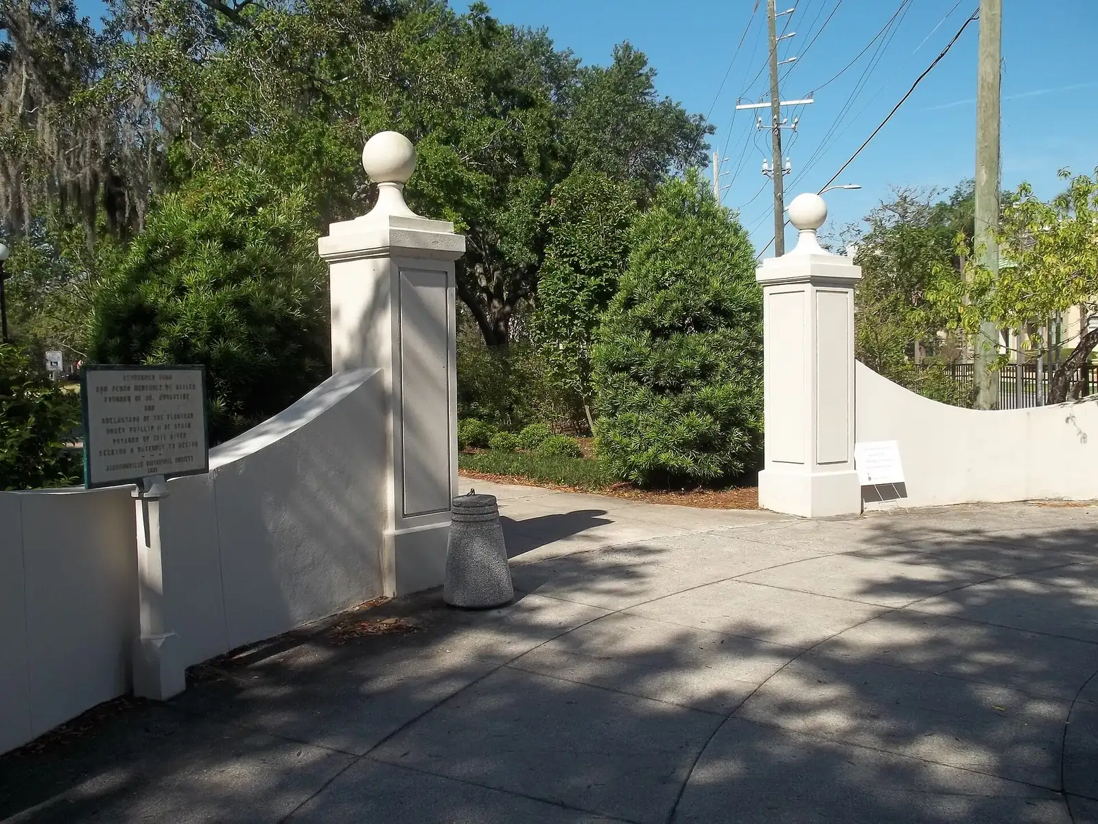
Riverside is a 1,154-acre neighborhood southwest of downtown in ZIP codes 32204 and 32205, with 15 city park sites. Zoned for Riverside High.
Last checked Oct. 10, 2026. Sources: the City of Jacksonville’s neighborhood map and parks layer, Duval County Public Schools’ 2026-27 attendance zones, the Florida Department of Education’s 2026 school grades, the Florida Department of Revenue’s statewide parcel data, Zillow Research, the Jacksonville Transportation Authority and OpenStreetMap.
Riverside is a 1,154-acre neighborhood on the St. Johns River southwest of downtown, as the city’s neighborhood map draws it. Most of it is in the city’s Northwest planning district, with a strip at the downtown end in the Urban Core. Half of its single-family homes were built in 1926 or earlier, according to the Duval County tax roll.
It has a mix of housing types. The Florida Department of Revenue’s parcel data lists 2,133 single-family homes, 864 condominium units, 708 small multifamily buildings with 2,337 units and 29 apartment properties with 856 units inside the boundary.
What this means for you
- High school: Riverside High, graded C by Florida for 2026 (C in 2025).
- Home value: $319,300 in ZIP 32204 and $255,208 in ZIP 32205 in August 2026, according to the Zillow Home Value Index.
- Nearest interstate exit: I-10 Exit 361, about 1.7 miles by road, or Exit 360, McDuff Avenue, about 1.9 miles.
Part of our Jacksonville neighborhoods guide.
Where it is
On the city’s map, Riverside borders Brooklyn and Mixon Town to the northeast, Lackawanna to the northwest, Murray Hill to the west and Avondale to the southwest, with the river along its south and east side. OpenStreetMap also names Riverside as a neighborhood.
ZIP codes: 32204 for about 52% of the homes and 32205 for about 48%.
Schools
Every home is zoned for the same middle and high school; the elementary school depends on the street. From Duval County Public Schools’ 2026-27 zone layer:
| Level | Zoned school | Share of homes | Florida grade, 2026 |
|---|---|---|---|
| Elementary | West Riverside Elementary, 2801 Herschel St. | 75% | A (A in 2025) |
| Elementary | Central Riverside Elementary, 2555 Gilmore St. | 25% | B (A in 2025) |
| Middle | Lake Shore Middle, 2519 Bayview Road | 100% | C (B in 2025) |
| High | Riverside High, 1200 S. McDuff Ave. | 100% | C (C in 2025) |
Grades are from the Florida Department of Education; each school name links to its state report card. Riverside High and both elementary schools are inside the neighborhood. Because it is split between two elementary zones, check the exact address with the district’s school locator. More in our schools guide.
Home values
According to the Zillow Home Value Index, the typical home value in August 2026 was:
| ZIP code | August 2026 | August 2025 | Change |
|---|---|---|---|
| 32204 | $319,300 | $321,922 | Down 0.8% |
| 32205 | $255,208 | $266,399 | Down 4.2% |
The index is a modeled typical value for the middle third of homes, single-family homes and condos together, not a sale price, and it covers each whole ZIP code. Zillow’s figure for the city of Jacksonville was $285,103, down 0.8% on the year. More in our home prices guide.
Parks and trails
The city’s parks data lists 15 sites inside the neighborhood, among them:
- Memorial Park, 1620 Riverside Ave., on the river
- Riverside Park, 753 Park St., 11 acres
- Willowbranch Park, 2870 Sydney St., 15 acres
- Willowbranch Rose Garden, 2840 Park St., and Peace Memorial Rose Garden Park, 2874 Park St.
- Yacht Basin Park, 2941 St. Johns Ave.
- Artist Walk, 718 Riverside Ave., and the Northbank Riverwalk Artists Square, 715 Riverside Ave.
- Riverside High School pool, 1200 S. McDuff Ave.
The rest are small neighborhood parks: Cherry Street, Elizabeth, James and Downing, John Murray Forbes, Stone and Windsor Place parks. More in our parks and trails guide.
Getting around
- Interstate: I-10 Exit 361 is about 1.7 miles by road from the middle of the neighborhood, and Exit 360, McDuff Avenue, about 1.9 miles.
- City Hall: about 3.4 miles.
- Airport: about 16.3 miles by road to Jacksonville International Airport.
- These are distances measured on the OpenStreetMap road network with the OSRM routing engine, not drive times.
- Bus: JTA’s current schedule data, in effect through Oct. 31, 2026, lists 49 stops in the neighborhood, served by the First Coast Flyer Orange Line and routes 14 Normandy, 16 Riverside/Wilson and 31 Park/Blanding. Times are on JTA’s route pages.
More in our getting around guide.
Groceries and everyday stores
From OpenStreetMap, inside the neighborhood:
- Publix, 2033 Riverside Ave.
- Grassroots Natural Market, 2007 Park St.
- Walgreens, Caremax Pharmacy and Owens Pharmacy, three pharmacies
How we drew this area
This page uses the Riverside polygon on the City of Jacksonville’s neighborhood map. Home counts, ages, ZIP codes and school zone shares come from the Florida Department of Revenue’s statewide parcel data matched to Duval County Public Schools’ 2026-27 zone layer on Oct. 10, 2026. Store and road data © OpenStreetMap contributors.
Frequently asked questions
What ZIP code is Riverside in Jacksonville?
Two: 32204 for about 52% of the homes and 32205 for the rest. Zillow put the typical home value at $319,300 in 32204 and $255,208 in 32205 in August 2026.
What schools are Riverside homes zoned for?
Riverside High and Lake Shore Middle for every home, and West Riverside or Central Riverside Elementary depending on the street, in Duval County Public Schools’ 2026-27 zone layer.
What parks are in Riverside, Jacksonville?
The city’s parks data lists 15 sites inside the neighborhood, including Memorial Park, Riverside Park, Willowbranch Park and the Willowbranch Rose Garden.
Is Riverside a good place to live?
Here are the facts. Riverside is a 1,154-acre neighborhood of older homes and small apartment buildings with 15 city park sites. Its zoned high school, Riverside High, was graded C for 2026, and downtown City Hall is about 3.4 miles by road.
Have your say